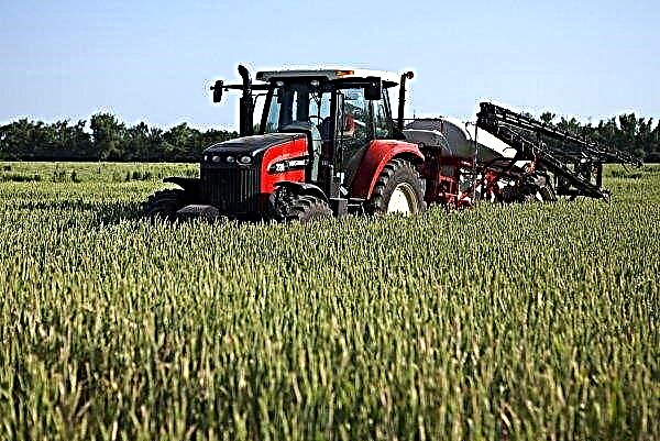
Belarusians created an interactive map of the fields of Europe and the USA. More land than Ukraine, only in America.The Minsk company OneSoil has developed a map of agricultural land based on images from space. Used data from the European Space Agency, which analyzed three years. Everything important for the agrarian has been calculated - in what condition the fields are, what grows on them and even at what stage. The system recognizes 20 types of crops. Among European countries, the largest land is in Ukraine. 35.9 million hectares, divided into 2 million plots. France goes further in terms of land area, the total area is smaller, but much more land is 25.7 million hectares and 7 million sites. According to the map, Ukraine has the most corn fields - 14.8 million hectares, wheat - 5.4 million hectares and steam sown with ordinary grass - 4 million hectares. Most of the land in the Odessa region. The average plot size is 18 hectares, but the largest field is 2000 hectares. The map allows you to see how the fields changed from 2016 to 2018. Half a million dollars were invested in this project. In 2019, Belarusian IT specialists plan to enter data from Latin America and Australia, and later cover the fields of the entire planet. The founders of the project are sure that their map will help to track agricultural trends at the local and global level, which means effectively plan business in this sector.
Artificial Intelligence has calculated the land: The largest arable land in Europe is Ukrainian
Share
Pin
Tweet
Send
Share
Send
Share
Pin
Tweet
Send
Share
Send
Recommended
Popular Categories
Recent
Actual
“Pea chicken” from Switzerland may appear on the world market
“Pea chicken” from Switzerland may appear on the world market...
Recent
Popular Categories
© 2024 https://tomahnousfarm.org

